South Sister St. Marys, Tasmania
views of south sister
Here are some images of the South Sister
[click on thumbnails for larger images]
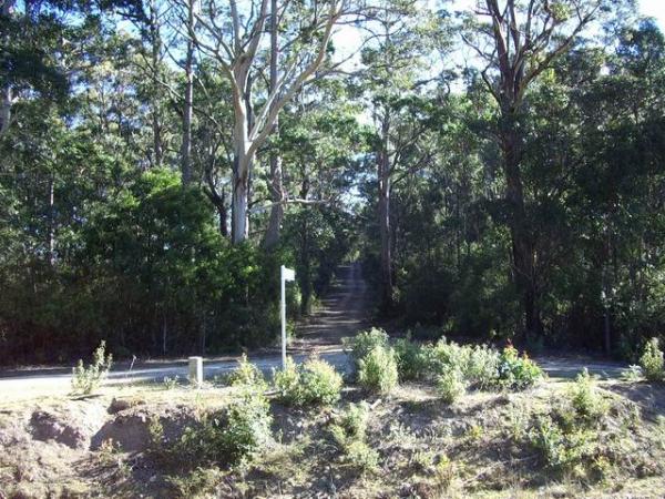 |
This marks the start of the South Sister Road which runs through a Eucalyptus brookeriana forest. These trees may not be logged as part of the RFA, however some of the trees are likely to be sacrificed to widen the road. | 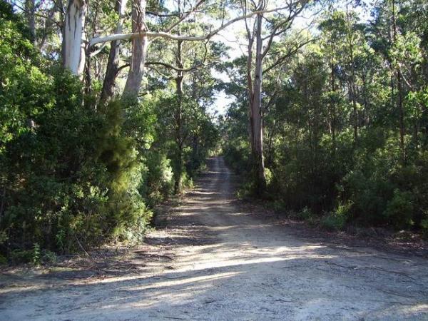 |
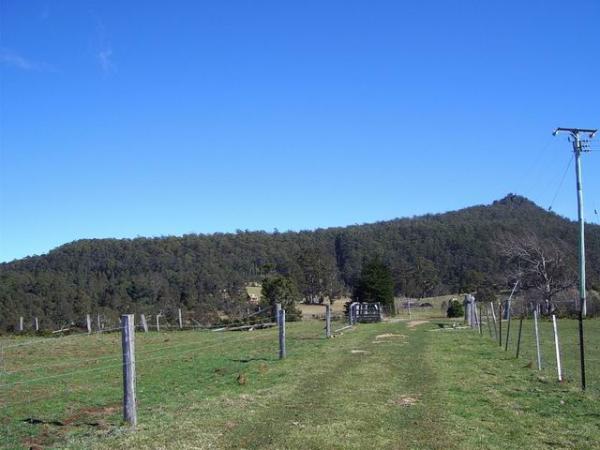
Entrance to road |
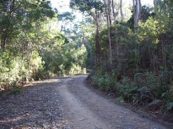 |
The road through the coupe which will be widened to make way for log trucks. | 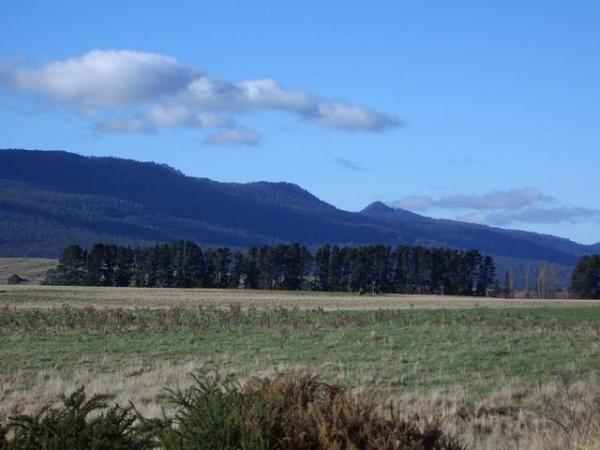 |
Nicholas Range taken from the Esk Highway. South Sister is shown on the right of the photos |
 |
St. Marys peak | 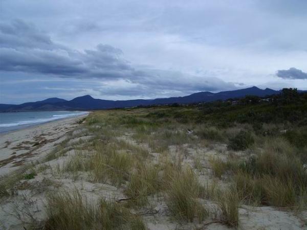 |
South Sister (tallest peak on far right) taken from Scamander beach. |
 |
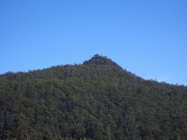
South sister peak and southern slope of South Sister taken from German Town. Much of this forest will be logged leaving an obvious scar visible to tourists and residents. | 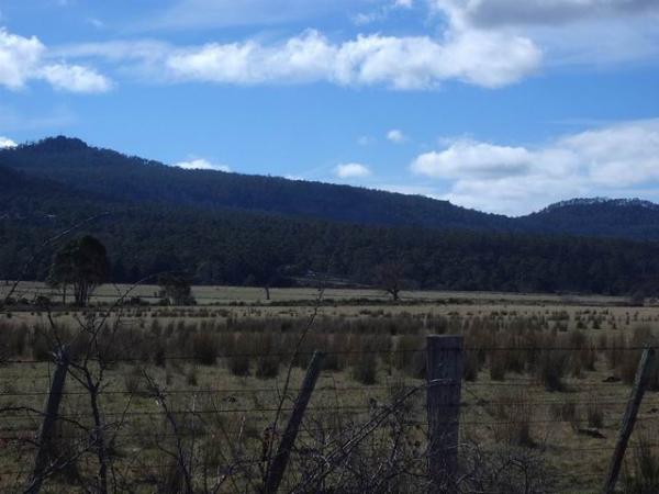 |
South Sister taken from St Marys (southern view). |